Uvita to Monteverde
243 km (151 miles)
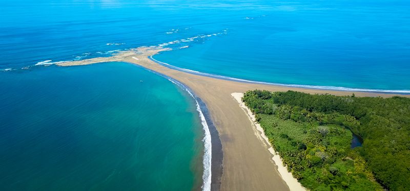
Uvita
Gateway to Marino Ballena National Park and the iconic Whale's Tail sandbar at low tide.
See this destination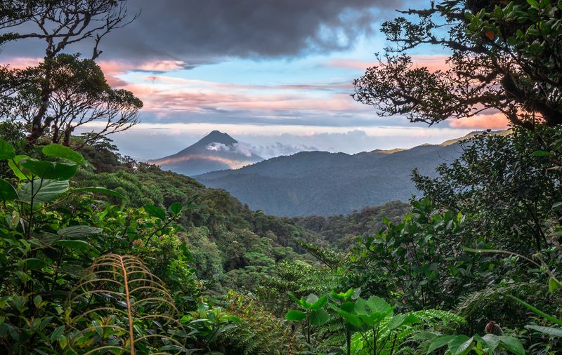
Monteverde
A misty cloud forest hill town for canopy walks, zip-lines, and exceptional birdwatching.
See this destinationTransportation Options
Rental Car
From Uvita, take Costanera Sur (Route 34) for 161 km, Caldera Highway (Route 27) for 29 km, then Pan-American Highway (Route 1) for the final 18 km into Monteverde.
Highways used
- Rt 34 Costanera Sur 161 km · 2 hours 43 min
- Rt 27 Caldera Highway 29 km · 30 min
- Rt 1 Pan-American Highway 18 km · 27 min
Note: Costa Rica traffic, weather and road conditions can greatly increase your drive time. It's always best to check with Waze before heading out. Read more on how to drive in Costa Rica.
Shuttle
Long journey connecting beach to cloud forest. Daily shuttles available.
Note: Shuttles come in shared and private flavors with different costs and trade-offs. Read more on taking a shuttle in Costa Rica.
Book a Shuttle