San José Airport (SJO) to Santa Teresa
259 km (161 miles)
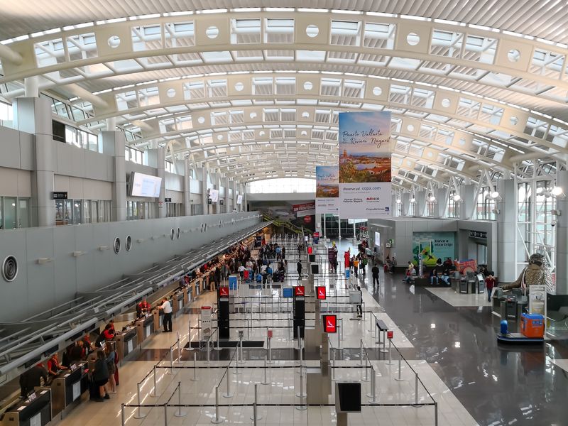
San José Airport (SJO)
Costa Rica's main international airport and gateway to the Central Valley.
See this destination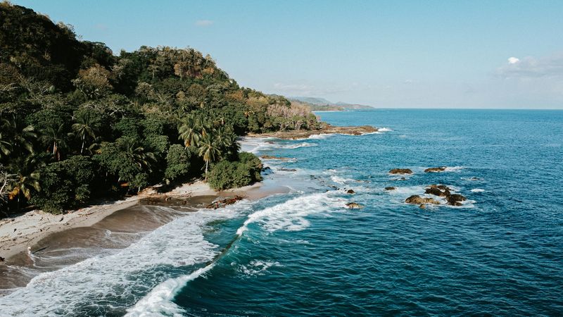
Santa Teresa
A bohemian surf town at the tip of the Nicoya Peninsula, beloved for sunsets and yoga retreats.
See this destinationTransportation Options
Rental Car
From San José Airport (SJO), take Caldera Highway (Route 27) for 69 km, Pan-American Highway (Route 1) for 49 km, Tempisque Bridge (Route 18) for 49 km, Nicoya Peninsula Highway (Route 21) for 27 km, then Ruta del Sol (Route 160) for the final 13 km into Santa Teresa.
Highways used
- Rt 27 Caldera Highway 69 km · 1 hour 12 min
- Rt 1 Pan-American Highway 49 km · 1 hour 6 min
- Rt 18 Tempisque Bridge 49 km · 47 min
- Rt 21 Nicoya Peninsula Highway 27 km · 29 min
- Rt 160 Ruta del Sol 13 km · 32 min
Note: Costa Rica traffic, weather and road conditions can greatly increase your drive time. It's always best to check with Waze before heading out. Read more on how to drive in Costa Rica.
Shuttle
Shuttles include ferry crossing. Alternative route via Naranjo ferry available.
Note: Shuttles come in shared and private flavors with different costs and trade-offs. Read more on taking a shuttle in Costa Rica.
Book a Shuttle
Flight
Note: Domestic flights in Costa Rica are short hops on small turboprops, with strict baggage limits and early check-in. Read more on flying in Costa Rica.
Book a Flight